
Thank you for supporting this site ❤️
Make a donation
Make a donation
Baghdad topographic map
Click on the map to display elevation.
Thank you for supporting this site ❤️
Make a donation
Make a donation
About this map
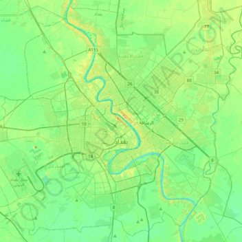
Name: Baghdad topographic map, elevation, terrain.
Location: Baghdad, Green Zone Municipality, Baghdad Governorate, Iraq (33.17976 44.18462 33.48683 44.57029)
Average elevation: 36 m
Minimum elevation: 26 m
Maximum elevation: 56 m
Thank you for supporting this site ❤️
Make a donation
Make a donation