
Bergstadt Bad Grund (Harz) topographic map
Interactive map
Click on the map to display elevation.
About this map
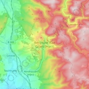
Name: Bergstadt Bad Grund (Harz) topographic map, elevation, terrain.
Average elevation: 379 m
Minimum elevation: 166 m
Maximum elevation: 611 m