
Audrey topographic map
Interactive map
Click on the map to display elevation.
About this map
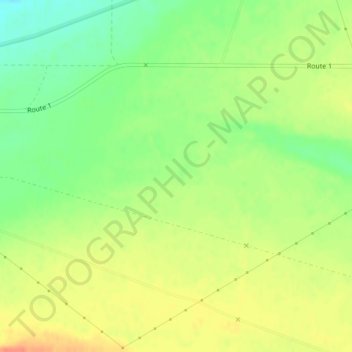
Name: Audrey topographic map, elevation, terrain.
Location: Audrey, Benton County, Washington, États-Unis d'Amérique (46.61719 -119.62428 46.63719 -119.60428)
Average elevation: 156 m
Minimum elevation: 132 m
Maximum elevation: 177 m