
Goecha La Lake topographic map
Interactive map
Click on the map to display elevation.
About this map
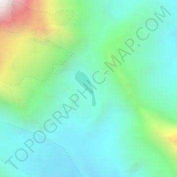
Name: Goecha La Lake topographic map, elevation, terrain.
Location: Goecha La Lake, Mangan, Mangan District, Sikkim, India (27.59841 88.18357 27.60384 88.18721)
Average elevation: 4,953 m
Minimum elevation: 4,604 m
Maximum elevation: 6,012 m
Other topographic maps
Click on a map to view its topography, its elevation and its terrain.