
Thank you for supporting this site ❤️
Make a donation
Make a donation
Metcalf topographic map
Click on the map to display elevation.
Thank you for supporting this site ❤️
Make a donation
Make a donation
About this map
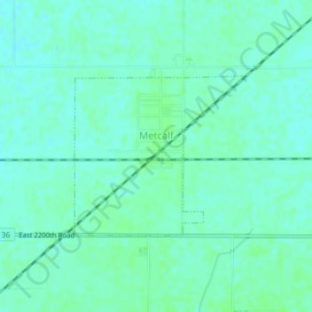
Name: Metcalf topographic map, elevation, terrain.
Location: Metcalf, Edgar County, Illinois, United States (39.79246 -87.81647 39.80629 -87.79689)
Average elevation: 202 m
Minimum elevation: 198 m
Maximum elevation: 205 m
Thank you for supporting this site ❤️
Make a donation
Make a donation
Other topographic maps
Click on a map to view its topography, its elevation and its terrain.