
Thank you for supporting this site ❤️
Make a donation
Make a donation
Starved Rock topographic map
Click on the map to display elevation.
Thank you for supporting this site ❤️
Make a donation
Make a donation
About this map
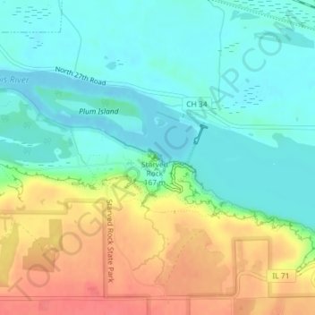
Name: Starved Rock topographic map, elevation, terrain.
Location: Starved Rock, LaSalle County, Illinois, 61373, USA (41.32110 -88.98985 41.32120 -88.98975)
Average elevation: 160 m
Minimum elevation: 135 m
Maximum elevation: 204 m
Thank you for supporting this site ❤️
Make a donation
Make a donation