
Iona topographic map
Interactive map
Click on the map to display elevation.
About this map
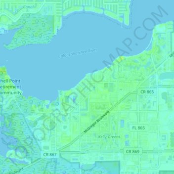
Name: Iona topographic map, elevation, terrain.
Location: Iona, Lee County, Floride, États-Unis d'Amérique (26.49185 -81.99733 26.54384 -81.92529)
Average elevation: 2 m
Minimum elevation: -1 m
Maximum elevation: 9 m