
ولسوالی چهارآسیاب topographic map
Interactive map
Click on the map to display elevation.
About this map
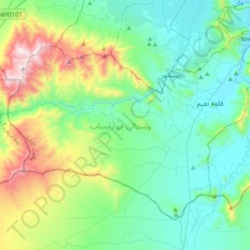
Name: ولسوالی چهارآسیاب topographic map, elevation, terrain.
Location: ولسوالی چهارآسیاب, Kaboul, Afghanistan (34.29454 68.94616 34.46218 69.21485)
Average elevation: 2,125 m
Minimum elevation: 1,791 m
Maximum elevation: 3,201 m