
Poblet topographic map
Interactive map
Click on the map to display elevation.
About this map
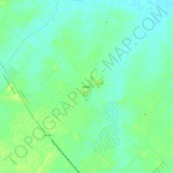
Name: Poblet topographic map, elevation, terrain.
Location: Poblet, Partido de La Plata, Bs. As., Argentine (-35.07850 -57.97332 -35.03850 -57.93332)
Average elevation: 19 m
Minimum elevation: 12 m
Maximum elevation: 27 m