
Thank you for supporting this site ❤️
Make a donation
Make a donation
Zimevitsa topographic map
Click on the map to display elevation.
Thank you for supporting this site ❤️
Make a donation
Make a donation
About this map
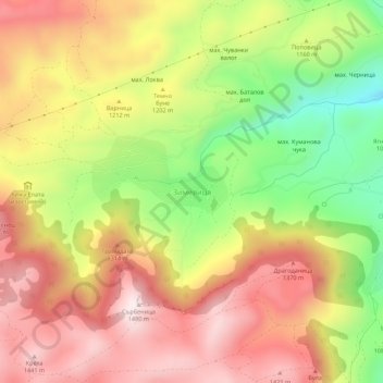
Name: Zimevitsa topographic map, elevation, terrain.
Location: Zimevitsa, Svoge, Sofia, Bulgaria (43.02490 23.27597 43.06490 23.31597)
Average elevation: 1,196 m
Minimum elevation: 857 m
Maximum elevation: 1,472 m
Thank you for supporting this site ❤️
Make a donation
Make a donation