
Changde topographic map
Interactive map
Click on the map to display elevation.
About this map
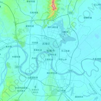
Name: Changde topographic map, elevation, terrain.
Location: Changde, Hunan, 415099, Chine (28.87455 111.53287 29.19455 111.85287)
Average elevation: 49 m
Minimum elevation: 23 m
Maximum elevation: 533 m