
Ain Errich topographic map
Interactive map
Click on the map to display elevation.
About this map
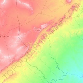
Name: Ain Errich topographic map, elevation, terrain.
Location: Ain Errich, Daïra Aïn El Melh, M'Sila, RADP (34.21671 3.89006 34.76810 4.30187)
Average elevation: 837 m
Minimum elevation: 366 m
Maximum elevation: 1,457 m