
Xã Phú Vang topographic map
Interactive map
Click on the map to display elevation.
About this map
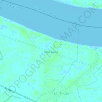
Name: Xã Phú Vang topographic map, elevation, terrain.
Location: Xã Phú Vang, Bình Đại District, Bến Tre Province, Vietnam (10.22180 106.56267 10.25866 106.59669)
Average elevation: 2 m
Minimum elevation: -2 m
Maximum elevation: 8 m