
Riceville topographic map
Interactive map
Click on the map to display elevation.
About this map
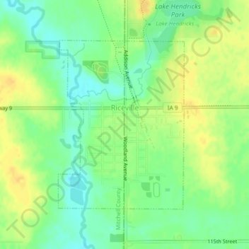
Name: Riceville topographic map, elevation, terrain.
Location: Riceville, Howard County, Iowa, 50466, États-Unis d'Amérique (43.35285 -92.56427 43.37117 -92.54545)
Average elevation: 376 m
Minimum elevation: 362 m
Maximum elevation: 388 m