
Hartley topographic map
Interactive map
Click on the map to display elevation.
About this map
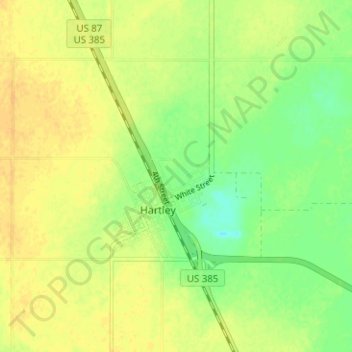
Name: Hartley topographic map, elevation, terrain.
Location: Hartley, Hartley County, Texas, 79044, USA (35.87229 -102.42458 35.90619 -102.36178)
Average elevation: 1,195 m
Minimum elevation: 1,180 m
Maximum elevation: 1,204 m