
Arnspitzgruppe topographic map
Interactive map
Click on the map to display elevation.
About this map
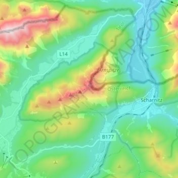
Name: Arnspitzgruppe topographic map, elevation, terrain.
Average elevation: 1,324 m
Minimum elevation: 915 m
Maximum elevation: 2,463 m
Other topographic maps
Click on a map to view its topography, its elevation and its terrain.
Zunterkopf
Österreich > Tirol > Bezirk Innsbruck-Land > Gemeinde Scharnitz
Zunterkopf, Gemeinde Scharnitz, Bezirk Innsbruck-Land, Tirol, 6108, Österreich
Average elevation: 1,451 m