
Fafa topographic map
Interactive map
Click on the map to display elevation.
About this map
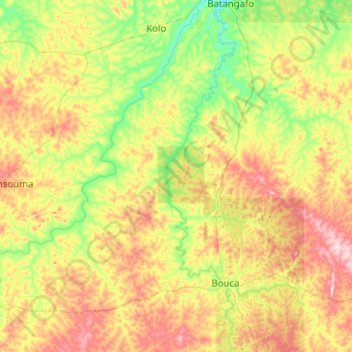
Name: Fafa topographic map, elevation, terrain.
Location: Fafa, Ouham, Central African Republic (6.31161 18.10423 7.31098 18.30770)
Average elevation: 477 m
Minimum elevation: 400 m
Maximum elevation: 626 m
Other topographic maps
Click on a map to view its topography, its elevation and its terrain.
Bossangoa
Central African Republic > Ouham > Bossangoa
Bossangoa, Ouham, 42834, Central African Republic
Average elevation: 498 m