
Thank you for supporting this site ❤️
Make a donation
Make a donation
Kampung Layon topographic map
Click on the map to display elevation.
Thank you for supporting this site ❤️
Make a donation
Make a donation
About this map
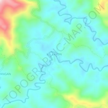
Name: Kampung Layon topographic map, elevation, terrain.
Location: Kampung Layon, Nabawan, Interior Division, Sabah, Malaysia (4.83838 116.24485 4.87838 116.28485)
Average elevation: 545 m
Minimum elevation: 453 m
Maximum elevation: 862 m
Thank you for supporting this site ❤️
Make a donation
Make a donation