
Thank you for supporting this site ❤️
Make a donation
Make a donation
Agwata topographic map
Click on the map to display elevation.
Thank you for supporting this site ❤️
Make a donation
Make a donation
About this map
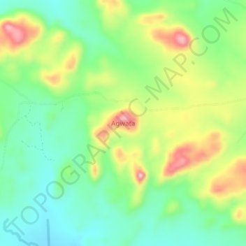
Name: Agwata topographic map, elevation, terrain.
Location: Agwata, Lamwo, Northern Region, Uganda (3.18952 32.55282 3.22952 32.59282)
Average elevation: 866 m
Minimum elevation: 794 m
Maximum elevation: 984 m
Thank you for supporting this site ❤️
Make a donation
Make a donation