
Thank you for supporting this site ❤️
Make a donation
Make a donation
Cerro Los Bueyes topographic map
Click on the map to display elevation.
Thank you for supporting this site ❤️
Make a donation
Make a donation
About this map
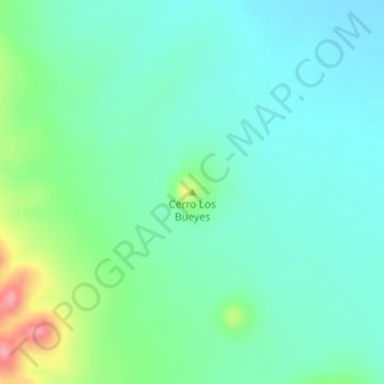
Name: Cerro Los Bueyes topographic map, elevation, terrain.
Location: Cerro Los Bueyes, Ahumada, Chihuahua, México (30.30498 -106.68640 30.30508 -106.68630)
Average elevation: 1,299 m
Minimum elevation: 1,271 m
Maximum elevation: 1,385 m
Thank you for supporting this site ❤️
Make a donation
Make a donation
Other topographic maps
Click on a map to view its topography, its elevation and its terrain.