
Thank you for supporting this site ❤️
Make a donation
Make a donation
Sauerfeld topographic map
Click on the map to display elevation.
Thank you for supporting this site ❤️
Make a donation
Make a donation
About this map
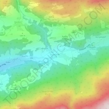
Name: Sauerfeld topographic map, elevation, terrain.
Location: Sauerfeld, Tamsweg, Bezirk Tamsweg, Salzburg, 5580, Österreich (47.11756 13.84031 47.15756 13.88031)
Average elevation: 1,299 m
Minimum elevation: 1,052 m
Maximum elevation: 1,738 m
Thank you for supporting this site ❤️
Make a donation
Make a donation