
Thank you for supporting this site ❤️
Make a donation
Make a donation
Alessandrino topographic map
Click on the map to display elevation.
Thank you for supporting this site ❤️
Make a donation
Make a donation
About this map
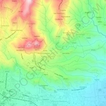
Name: Alessandrino topographic map, elevation, terrain.
Location: Alessandrino, Ronco Biellese, Biella, Piemonte, 13845, Italia (45.56263 8.08145 45.60263 8.12145)
Average elevation: 428 m
Minimum elevation: 284 m
Maximum elevation: 677 m
Thank you for supporting this site ❤️
Make a donation
Make a donation