
Thank you for supporting this site ❤️
Make a donation
Make a donation
Kalkaji Tehsil topographic map
Click on the map to display elevation.
Thank you for supporting this site ❤️
Make a donation
Make a donation
About this map
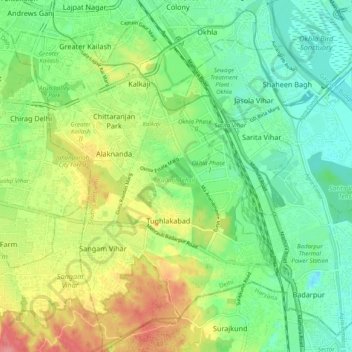
Name: Kalkaji Tehsil topographic map, elevation, terrain.
Location: Kalkaji Tehsil, South East Delhi, Delhi, India (28.47975 77.22331 28.56749 77.30210)
Average elevation: 224 m
Minimum elevation: 191 m
Maximum elevation: 279 m
Thank you for supporting this site ❤️
Make a donation
Make a donation
Other topographic maps
Click on a map to view its topography, its elevation and its terrain.