
格日勒敖都苏木 topographic map
Interactive map
Click on the map to display elevation.
About this map
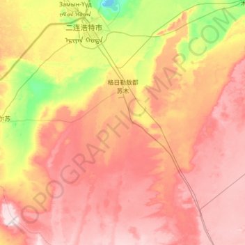
Name: 格日勒敖都苏木 topographic map, elevation, terrain.
Location: 格日勒敖都苏木, Erenhot, 锡林郭勒盟, Mongolie-Intérieure, Chine (42.96188 111.34489 43.73640 112.43678)
Average elevation: 1,016 m
Minimum elevation: 897 m
Maximum elevation: 1,131 m