
Thank you for supporting this site ❤️
Make a donation
Make a donation
Harl topographic map
Click on the map to display elevation.
Thank you for supporting this site ❤️
Make a donation
Make a donation
About this map
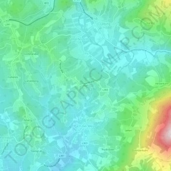
Name: Harl topographic map, elevation, terrain.
Location: Harl, Puch bei Weiz, Bezirk Weiz, Steiermark, 8182, Österreich (47.21420 15.70618 47.25420 15.74618)
Average elevation: 503 m
Minimum elevation: 392 m
Maximum elevation: 923 m
Thank you for supporting this site ❤️
Make a donation
Make a donation