
Thank you for supporting this site ❤️
Make a donation
Make a donation
Fobur topographic map
Click on the map to display elevation.
Thank you for supporting this site ❤️
Make a donation
Make a donation
About this map
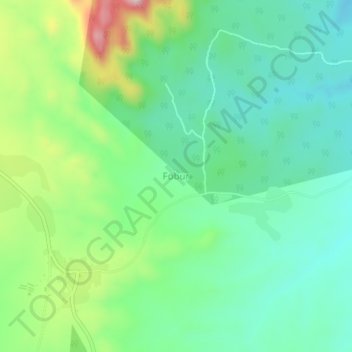
Name: Fobur topographic map, elevation, terrain.
Location: Fobur, Jos East, Plateau State, Nigeria (9.84667 9.01333 9.88667 9.05333)
Average elevation: 1,250 m
Minimum elevation: 1,151 m
Maximum elevation: 1,483 m
Thank you for supporting this site ❤️
Make a donation
Make a donation