
Thank you for supporting this site ❤️
Make a donation
Make a donation
Elevation point topographic map
Click on the map to display elevation.
Thank you for supporting this site ❤️
Make a donation
Make a donation
About this map
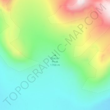
Name: Elevation point topographic map, elevation, terrain.
Location: Elevation point, Sermersooq, Greenland (66.29884 -36.50238 66.29894 -36.50228)
Average elevation: 1,105 m
Minimum elevation: 851 m
Maximum elevation: 1,652 m
Thank you for supporting this site ❤️
Make a donation
Make a donation
Other topographic maps
Click on a map to view its topography, its elevation and its terrain.