
Thank you for supporting this site ❤️
Make a donation
Make a donation
Godhanli Kundal topographic map
Click on the map to display elevation.
Thank you for supporting this site ❤️
Make a donation
Make a donation
About this map
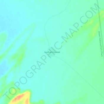
Name: Godhanli Kundal topographic map, elevation, terrain.
Location: Godhanli Kundal, Gadraroad Tehsil, Barmer, Rajasthan, India (26.13295 70.66470 26.17295 70.70470)
Average elevation: 177 m
Minimum elevation: 168 m
Maximum elevation: 209 m
Thank you for supporting this site ❤️
Make a donation
Make a donation