
Tharli topographic map
Interactive map
Click on the map to display elevation.
About this map
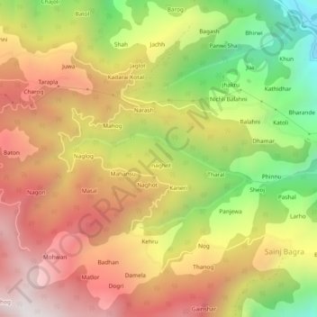
Name: Tharli topographic map, elevation, terrain.
Location: Tharli, Karsog, Mandi, Himachal Pradesh, 175011, India (31.33650 77.27993 31.37650 77.31993)
Average elevation: 1,779 m
Minimum elevation: 1,053 m
Maximum elevation: 2,396 m