
瀬戸内市 topographic map
Interactive map
Click on the map to display elevation.
About this map
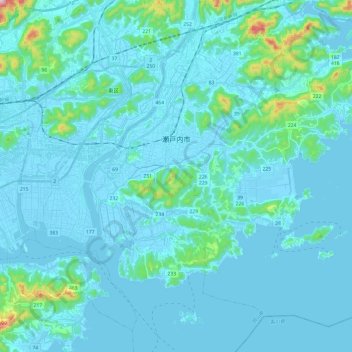
Name: 瀬戸内市 topographic map, elevation, terrain.
Location: 瀬戸内市, Prefectura de Okayama, Japón (34.55876 134.05193 34.72818 134.29282)
Average elevation: 33 m
Minimum elevation: -5 m
Maximum elevation: 393 m