
Thank you for supporting this site ❤️
Make a donation
Make a donation
Spatenberge - Rote Berge topographic map
Click on the map to display elevation.
Thank you for supporting this site ❤️
Make a donation
Make a donation
About this map
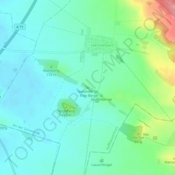
Name: Spatenberge - Rote Berge topographic map, elevation, terrain.
Average elevation: 167 m
Minimum elevation: 140 m
Maximum elevation: 253 m
Thank you for supporting this site ❤️
Make a donation
Make a donation
Other topographic maps
Click on a map to view its topography, its elevation and its terrain.
Oldisleben
Deutschland > Thüringen > Kyffhäuserkreis > An der Schmücke
Vorgeschichtliche Flach- und Hügelgräber und Höhensiedlungen bei Oldisleben weisen auf Siedlungen aus der Stein- und Bronzezeit hin.
Average elevation: 164 m
Braunsroda
Deutschland > Thüringen > Kyffhäuserkreis > An der Schmücke > Heldrungen
Average elevation: 186 m