
Prince George County topographic map
Interactive map
Click on the map to display elevation.
About this map
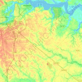
Name: Prince George County topographic map, elevation, terrain.
Location: Prince George County, Virginia, United States (36.99269 -77.39981 37.32076 -76.97260)
Average elevation: 29 m
Minimum elevation: -4 m
Maximum elevation: 68 m