
Molenbeersel topographic map
Interactive map
Click on the map to display elevation.
About this map
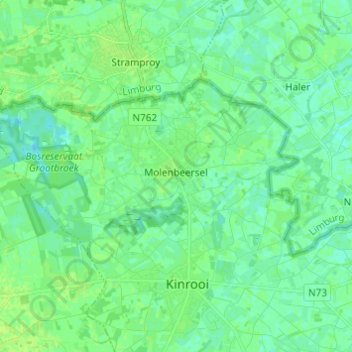
Name: Molenbeersel topographic map, elevation, terrain.
Location: Molenbeersel, Kinrooi, Maaseik, Limburg, Vlaanderen, België (51.14751 5.65804 51.18950 5.77974)
Average elevation: 32 m
Minimum elevation: 27 m
Maximum elevation: 37 m
Other topographic maps
Click on a map to view its topography, its elevation and its terrain.
Driessenstraat
België > Limburg > Maaseik > Kinrooi
Driessenstraat, Kinrooi, Maaseik, Limburg, 3640, België
Average elevation: 31 m
Groot-Beersel
België > Limburg > Maaseik > Kinrooi > Molenbeersel
Groot-Beersel, Molenbeersel, Kinrooi, Maaseik, Limburg, Vlaanderen, 3640, België
Average elevation: 31 m