
Møll topographic map
Interactive map
Click on the map to display elevation.
About this map
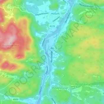
Name: Møll topographic map, elevation, terrain.
Location: Møll, Holum, Lindesnes, Agder, 4519, Noruega (58.06241 7.49945 58.10241 7.53945)
Average elevation: 78 m
Minimum elevation: -8 m
Maximum elevation: 249 m