
Thank you for supporting this site ❤️
Make a donation
Make a donation
Tatokou topographic map
Click on the map to display elevation.
Thank you for supporting this site ❤️
Make a donation
Make a donation
About this map
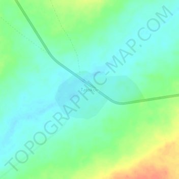
Name: Tatokou topographic map, elevation, terrain.
Location: Tatokou, Tanout, Zinder, Niger (15.08766 8.52778 15.12766 8.56778)
Average elevation: 465 m
Minimum elevation: 452 m
Maximum elevation: 493 m
Thank you for supporting this site ❤️
Make a donation
Make a donation