
Gondán topographic map
Interactive map
Click on the map to display elevation.
About this map
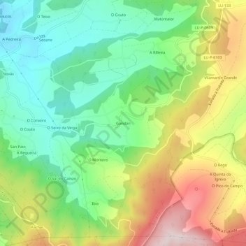
Name: Gondán topographic map, elevation, terrain.
Average elevation: 232 m
Minimum elevation: 33 m
Maximum elevation: 542 m
Other topographic maps
Click on a map to view its topography, its elevation and its terrain.
Trabadela
Spanje > Galicië > A Mariña Oriental > Trabada
Trabadela, Sante, Trabada, A Mariña Oriental, Lugo, Galicië, 27766, Spanje
Average elevation: 205 m