
Longmire Park topographic map
Interactive map
Click on the map to display elevation.
About this map
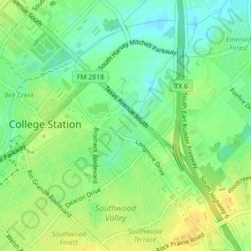
Name: Longmire Park topographic map, elevation, terrain.
Location: Longmire Park, College Station, Brazos County, Texas, USA (30.59410 -96.29786 30.59662 -96.29607)
Average elevation: 87 m
Minimum elevation: 74 m
Maximum elevation: 99 m