
Warsaw topographic map
Interactive map
Click on the map to display elevation.
About this map
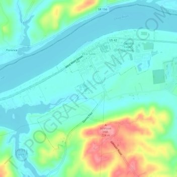
Name: Warsaw topographic map, elevation, terrain.
Location: Warsaw, Gallatin County, Kentucky, États-Unis d'Amérique (38.76146 -84.93456 38.78918 -84.88225)
Average elevation: 166 m
Minimum elevation: 135 m
Maximum elevation: 260 m