Pilar de Goiás topographic map
Interactive map
Click on the map to display elevation.
About this map
Name: Pilar de Goiás topographic map, elevation, terrain.
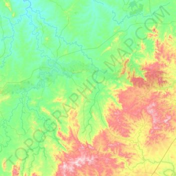
Average elevation: 477 m
Minimum elevation: 278 m
Maximum elevation: 1,008 m

Click on the map to display elevation.
Name: Pilar de Goiás topographic map, elevation, terrain.
Average elevation: 477 m
Minimum elevation: 278 m
Maximum elevation: 1,008 m