
Thank you for supporting this site ❤️
Make a donation
Make a donation
Hirdaypur topographic map
Click on the map to display elevation.
Thank you for supporting this site ❤️
Make a donation
Make a donation
About this map
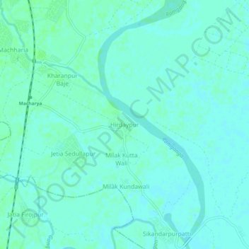
Name: Hirdaypur topographic map, elevation, terrain.
Location: Hirdaypur, Moradabad, Uttar Pradesh, India (28.74706 78.80115 28.78706 78.84115)
Average elevation: 190 m
Minimum elevation: 187 m
Maximum elevation: 193 m
Thank you for supporting this site ❤️
Make a donation
Make a donation
Other topographic maps
Click on a map to view its topography, its elevation and its terrain.