
Thank you for supporting this site ❤️
Make a donation
Make a donation
La Fange topographic map
Click on the map to display elevation.
Thank you for supporting this site ❤️
Make a donation
Make a donation
About this map
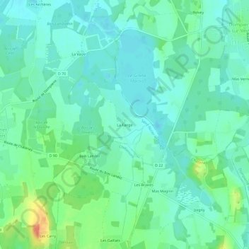
Name: La Fange topographic map, elevation, terrain.
Average elevation: 281 m
Minimum elevation: 267 m
Maximum elevation: 318 m
Thank you for supporting this site ❤️
Make a donation
Make a donation
Other topographic maps
Click on a map to view its topography, its elevation and its terrain.
Étang la Bugnière
France > Auvergne-Rhône-Alpes > Ain > Saint-Nizier-le-Désert > Picot
Average elevation: 281 m