
Dulchasar topographic map
Click on the map to display elevation.
About this map
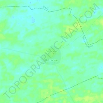
Name: Dulchasar topographic map, elevation, terrain.
Location: Dulchasar, Lunkaransar Tehsil, Bikaner, Rajasthan, India (28.70019 74.14604 28.74019 74.18604)
Average elevation: 209 m
Minimum elevation: 203 m
Maximum elevation: 215 m