
Thank you for supporting this site ❤️
Make a donation
Make a donation
Pangkalan Kerinci topographic map
Click on the map to display elevation.
Thank you for supporting this site ❤️
Make a donation
Make a donation
About this map
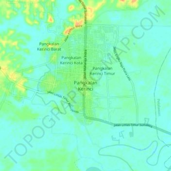
Name: Pangkalan Kerinci topographic map, elevation, terrain.
Location: Pangkalan Kerinci, Pelalawan, Riau, Sumatra, 28381, Indonesia (0.34541 101.81812 0.42541 101.89812)
Average elevation: 9 m
Minimum elevation: -1 m
Maximum elevation: 38 m
Thank you for supporting this site ❤️
Make a donation
Make a donation