
Umrala topographic map
Click on the map to display elevation.
About this map
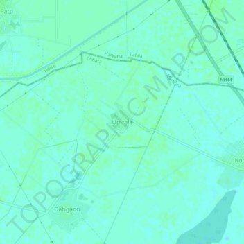
Name: Umrala topographic map, elevation, terrain.
Location: Umrala, Chhata, Mathura, Uttar Pradesh, 121106, India (27.82737 77.36456 27.86737 77.40456)
Average elevation: 188 m
Minimum elevation: 185 m
Maximum elevation: 191 m
Other topographic maps
Click on a map to view its topography, its elevation and its terrain.