
Thank you for supporting this site ❤️
Make a donation
Make a donation
Irving topographic map
Click on the map to display elevation.
Thank you for supporting this site ❤️
Make a donation
Make a donation
About this map
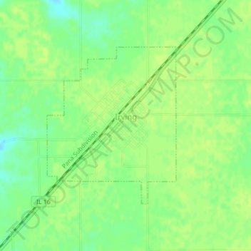
Name: Irving topographic map, elevation, terrain.
Location: Irving, Montgomery County, Illinois, 62051, United States (39.19649 -89.41549 39.21337 -89.39756)
Average elevation: 200 m
Minimum elevation: 190 m
Maximum elevation: 203 m
Thank you for supporting this site ❤️
Make a donation
Make a donation
Other topographic maps
Click on a map to view its topography, its elevation and its terrain.