
Make a donation
Manipal topographic map
Click on the map to display elevation.
Make a donation
Manipal
Manipal (Kannada: [mɐɳipaːlɐ]) is a suburb and university town within Udupi, in coastal Karnataka, India. Manipal is located five kilometres away from the centre of Udupi City, in Udupi District, Karnataka (state) in south western India. It is administered by the Udupi City Municipality. The suburb is located in coastal Karnataka, 62 km north of Mangalore and 8 km east of the Arabian Sea. From its location on a plateau, at an altitude of about 75 metres above sea level, it commands a panoramic view of the Arabian Sea to the west and the Western Ghats to the east. Manipal has a tropical climate with moderate to heavy rainfall during the monsoon season, making it lush and green throughout the year.
Make a donation
About this map
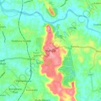
Name: Manipal topographic map, elevation, terrain.
Location: Manipal, Udupi taluku, Udupi, Karnataka, 576104, India (13.31197 74.74703 13.39197 74.82703)
Average elevation: 32 m
Minimum elevation: -1 m
Maximum elevation: 103 m
Make a donation
Other topographic maps
Click on a map to view its topography, its elevation and its terrain.