
Thank you for supporting this site ❤️
Make a donation
Make a donation
Gullfoss topographic map
Click on the map to display elevation.
Thank you for supporting this site ❤️
Make a donation
Make a donation
About this map
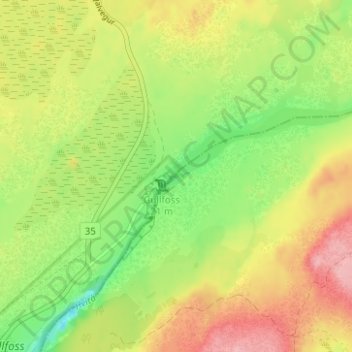
Name: Gullfoss topographic map, elevation, terrain.
Location: Gullfoss, Bláskógabyggð, Southern Region, Iceland (64.32727 -20.11915 64.32737 -20.11905)
Average elevation: 221 m
Minimum elevation: 161 m
Maximum elevation: 285 m
Thank you for supporting this site ❤️
Make a donation
Make a donation