
Thank you for supporting this site ❤️
Make a donation
Make a donation
Pangkalan Susu topographic map
Click on the map to display elevation.
Thank you for supporting this site ❤️
Make a donation
Make a donation
About this map
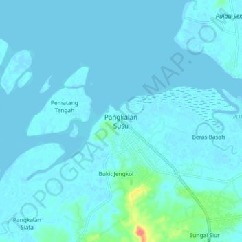
Name: Pangkalan Susu topographic map, elevation, terrain.
Location: Pangkalan Susu, Langkat, North Sumatra, Sumatra, Indonesia (4.07931 98.17517 4.15931 98.25517)
Average elevation: 4 m
Minimum elevation: -4 m
Maximum elevation: 55 m
Thank you for supporting this site ❤️
Make a donation
Make a donation