
Thank you for supporting this site ❤️
Make a donation
Make a donation
Maricourt topographic map
Click on the map to display elevation.
Thank you for supporting this site ❤️
Make a donation
Make a donation
About this map
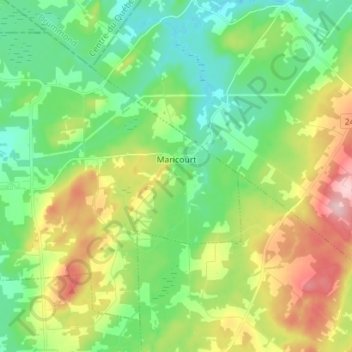
Name: Maricourt topographic map, elevation, terrain.
Location: Maricourt, Le Val-Saint-François, Estrie, Québec, Canada (45.51858 -72.37864 45.59922 -72.23788)
Average elevation: 236 m
Minimum elevation: 169 m
Maximum elevation: 366 m
Thank you for supporting this site ❤️
Make a donation
Make a donation