
Friend topographic map
Interactive map
Click on the map to display elevation.
About this map
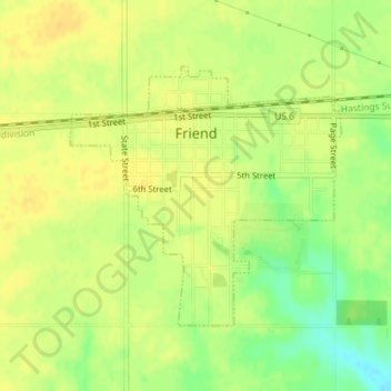
Name: Friend topographic map, elevation, terrain.
Location: Friend, Saline County, Nebraska, United States (40.64029 -97.29764 40.65821 -97.27292)
Average elevation: 474 m
Minimum elevation: 457 m
Maximum elevation: 482 m
Other topographic maps
Click on a map to view its topography, its elevation and its terrain.
Wilber
United States > Nebraska > Saline County
Wilber, Saline County, Nebraska, 68465, United States
Average elevation: 408 m
Western
United States > Nebraska > Saline County
Western, Saline County, Nebraska, United States
Average elevation: 449 m